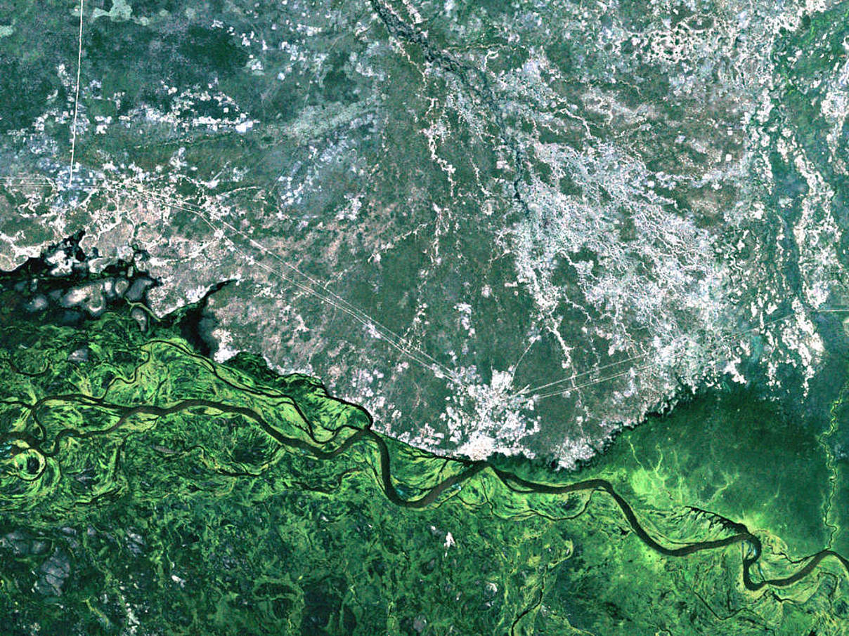
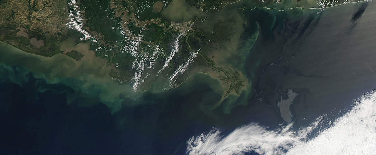
WWF works alongside aviation and aerospace agencies as well as universities and research institutes to intensify its work in the field of remote sensing.
WWF uses innovative satellite images and geo-data for worldwide research and exploration of eco-regions and biological diversity.

Currently its focus areas in this field are the following:
- Localising forest fires;
- Mapping and quantification of deforestation and degradation;
- Estimating of biomass, carbon storage and carbon emissions within REDD+;
- Monitoring of ships in order to discover illegal fisheries;
- Evaluating of potential value of FSC-certified forestries;
- Supporting the High Conservation Value Assessment concept (HCVA) for a sustainable agricultural development;
- Assessing WWF’s accomplishments in project regions; and
- Analysing the quality of habitats for various species.
